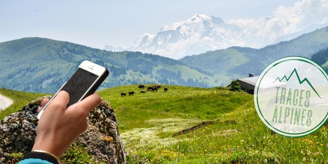
appli-traces-alpines.jpg
©Office de Tourisme du Val d'Arly
The Geoguiding AppAlpine Tracks

Alpine Tracks

The essential App to walk the trails of Val d’Arly, Beaufortain and Pays d’Albertville.
With its real time geo-guidance, it’s impossible to get lost!
On foot, on bike, on mountain bike, on eBike or in Trail mode, this is the app that follows you for all your outings!

logo-traces-alpines-2.png

Hiking, Snowshoeing, Trail but also Mountain biking, eBike and Cycling, the Appli Traces Alpines
is the essential ally of your nature outings in Beaufortain, Val d’Arly and Pays d’Albertville.

GPS navigation guides you to the discovery of a hundred routes.
Good to know!”

The app works off-line!
Once loaded, the route is embedded and works even if there is no network coverage.

The application also offers:

– A road guidance to the starting point of the chosen route
– Fun quizzes to test the young and old on your knowledge of the nature, heritage or history of the place of your route
– Images and videos associated with the different routes and displayed in real time to discover all the secrets of your route

Traces Alpines - Laissez-vous guider !

What does it look like?

Here is the web version of the application to locate your future hiking / trail / mountain bike / cyclo routes on the map.

You just have to download the application Traces Alpines on your mobile to benefit from all the advantages with the vocal and visual geoguidance once on the spot.

WARNING: This version only works on a computer and is not suitable for consultation on mobile.

Close